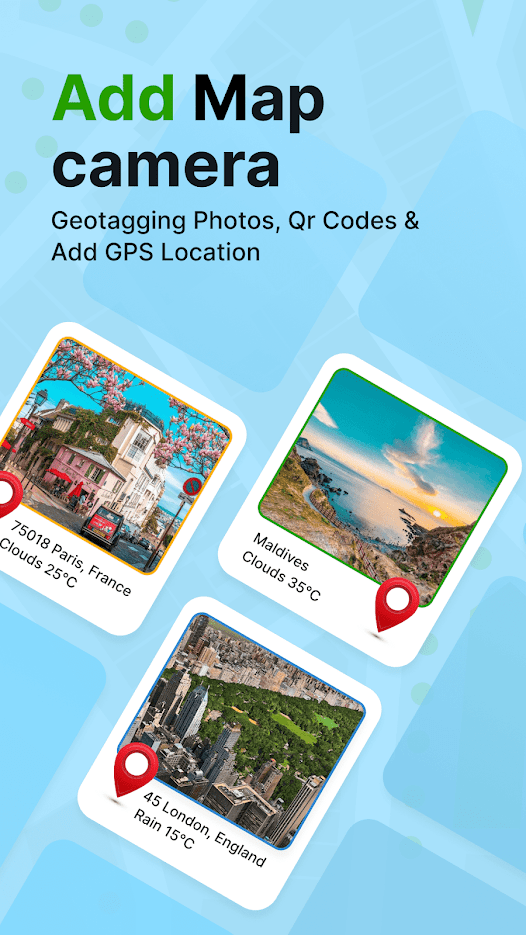
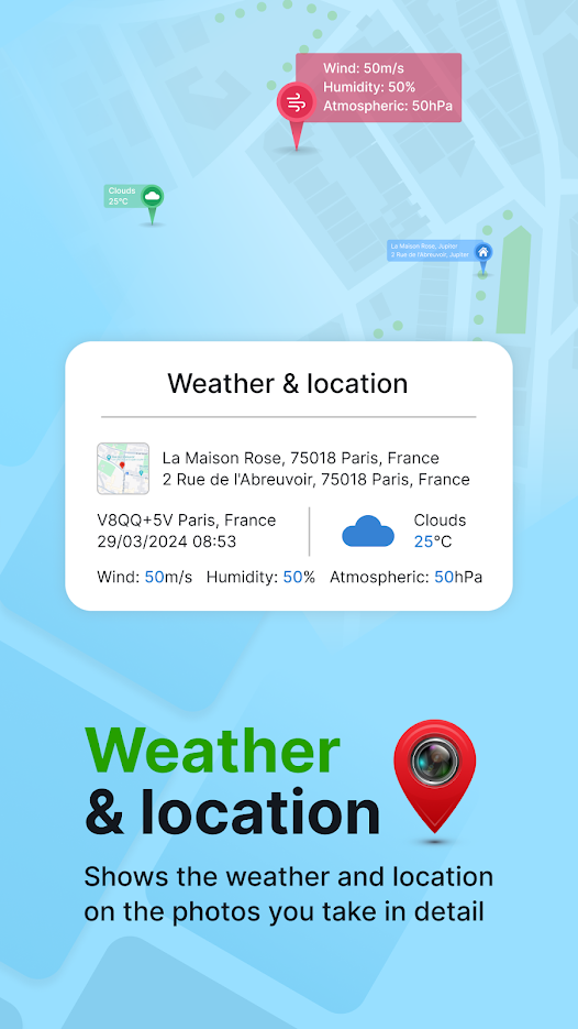
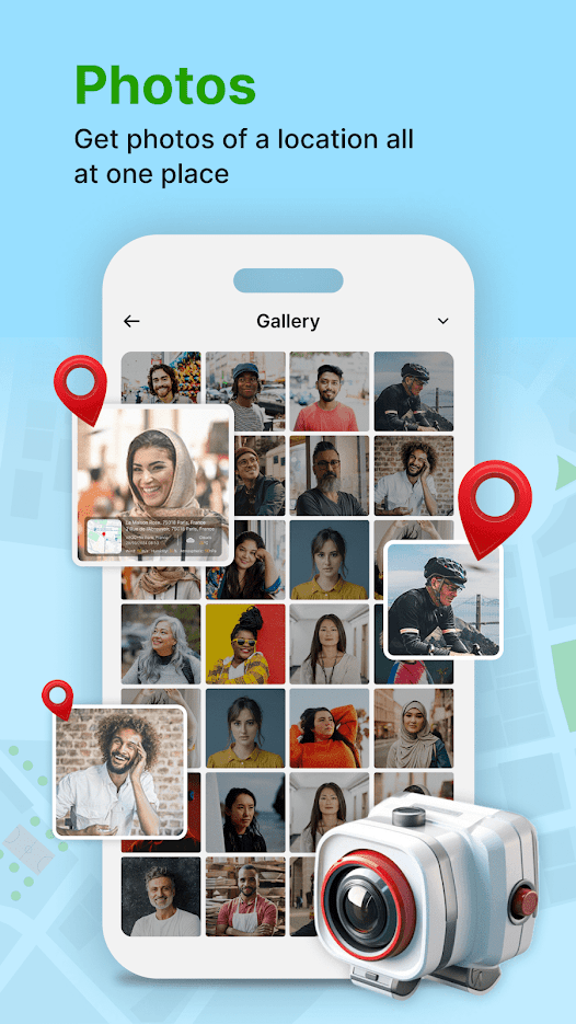
GPS Geotag Photos & Camera Map app helps you add location to your photos so you can keep track of when and where they were taken. You can also add datetime, live map, latitude, longitude, weather to your camera photos.
This GPS Camera app support capture stunning photos while automatically embedding GPS coordinates, altitude, address into the image metadata. Send geotagged location of place added photos to your family & friends easy.
Key Features:
- Fast GPS photomap location stamp
- Add geo location stamps automatically
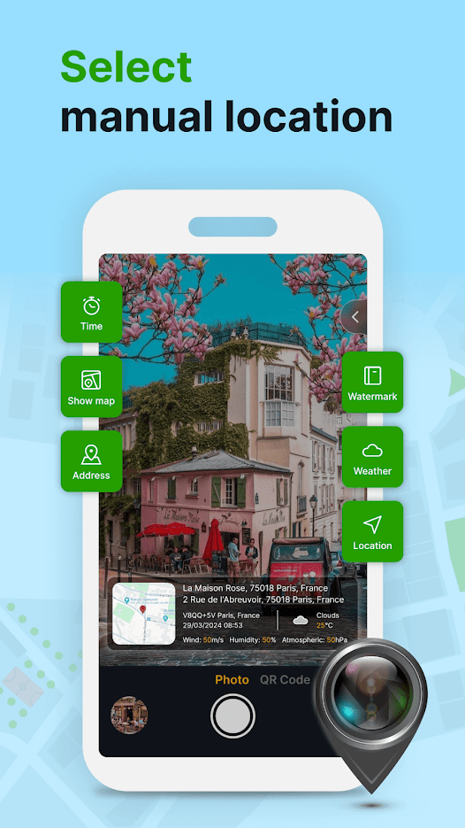
- Get custom GPS camera with many options
- QR code scanner for scanning
- Auto add short location on photo
- Customize the font, size, color, and position of the timestamp
If you want to fine tune the location, manually setup the latitude and longitude also supported. Support You add datetime, latitude, longitude, weather, geo map to your camera photos.
How to add GPS location on photos?
- Install GPS Geotag Photos & Camera Map App.
- Open camera and change setting.
- Add geo location stamps automatically to your clicked pictures.
Hope this app is helpful for you.

 +100宝石

 分享
分享